By: Michala Freeman
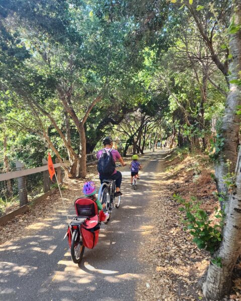
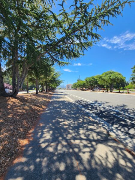
Stevens Creek Trail is an intercity trail in Silicon Valley that runs north and south along Stevens Creek. It is used by both commuters and recreational enthusiasts alike for walking, cycling, skateboarding, and rollerblading. The trail is a welcome respite from the bustling city with a barrier separating it from the freeway, a world of its own.
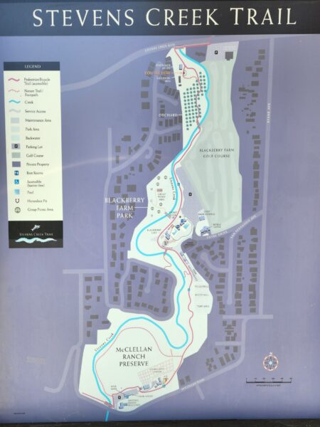
Stevens Creek Trail Interactive Map
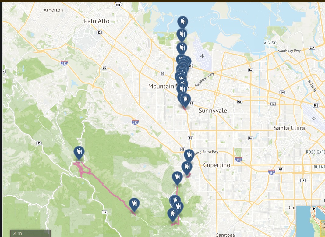
The trail is split in the middle and runs from Sleeper Park to the Bay Trail in the North ; and runs a short distance from Blackberry Farm in Cupertino to McClellan Ranch Preserve.
The trail is open from 6 am to one half hour after sunset.
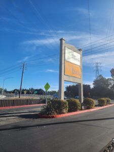
Entrance to Stevens Creek Trail by Hotel Zico walking from E Camino Real. | 200 E El Camino Real, Mountain View, CA 94040
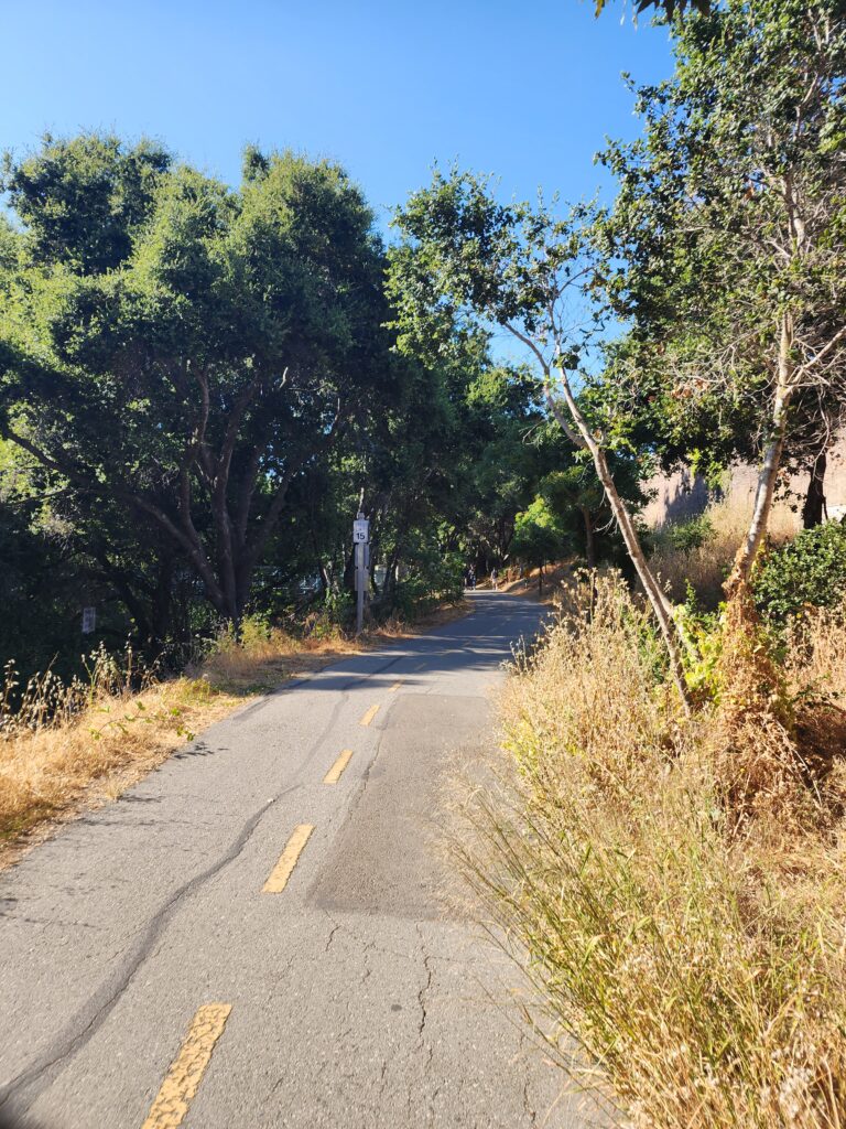
Between commuter hours and weekends, it is relatively quiet.
There are trail entrances all along the way. I became thirsty for a cold brew and stopped in at Cafe Terrace in downtown Mountain View, only a ten minute walk from the trail.


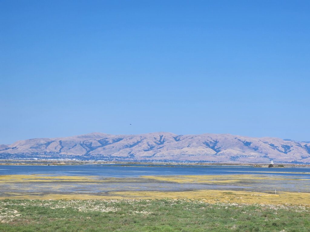
From there I left Stevens Creek Trail and took Shoreline Blvd all the way north up to the Bay by Google Headquarters.
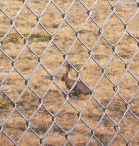
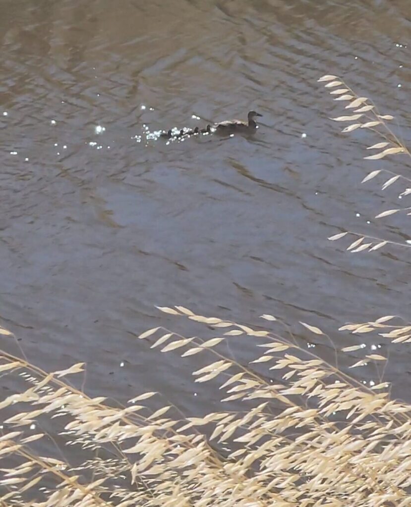
I saw some interesting wildlife, lots of birds and hares.
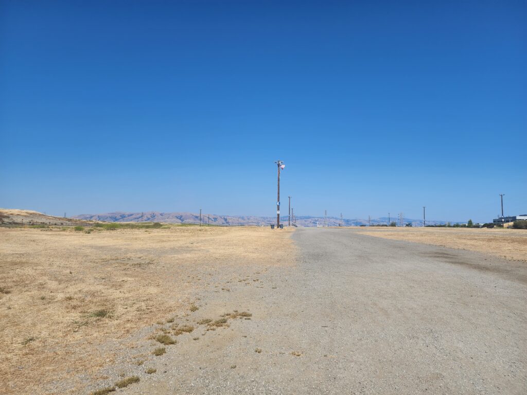
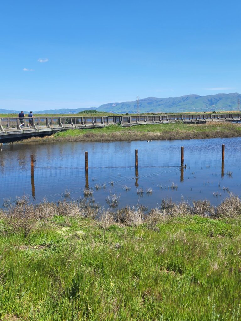
From the northernmost point of the trail, there is a whole network of trails that go east all along the bay, heading out to Baylands Park and even San Jose.
Hiking the southern portion of Stevens Creek Trail, including Stevens Creek Reservoir
My hike begins at Stevens Creek Blvd and Stelling Rd, near DeAnza College.
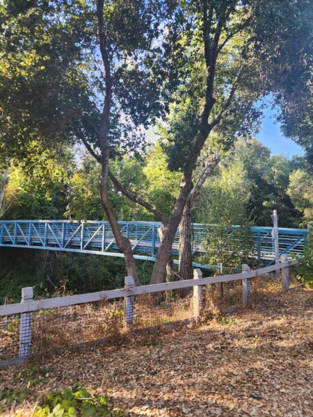
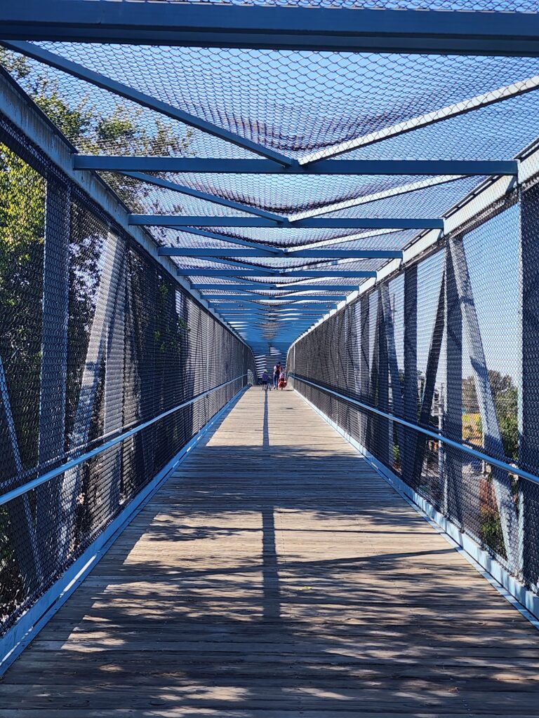
After walking about a mile, I passed a golf course, and walked over a short bridge. The trail entrance was right after it.
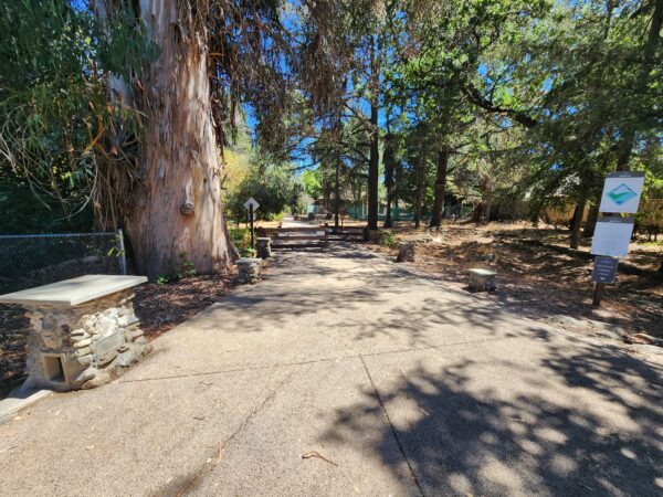
The path winds past a young grove, over a short bridge again and past the golf course.
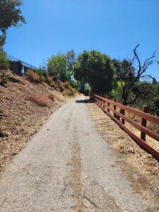
Then it goes past the pool, a small playground, down a paved way with public restrooms on the left.
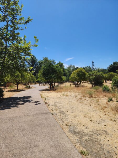
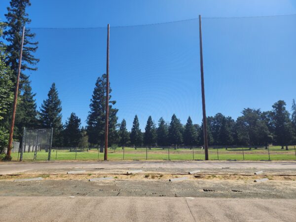
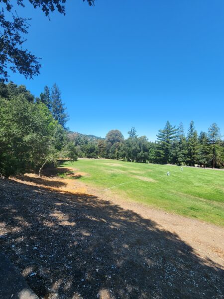
There are volleyball nets and a multi-purpose recreational field.
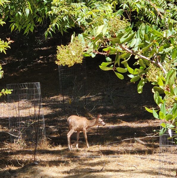
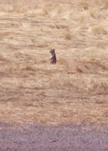
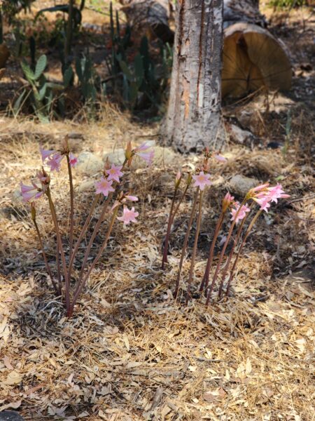
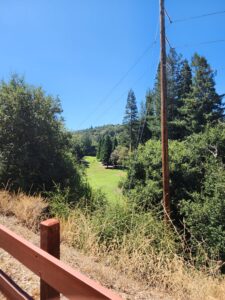
I passed another tree grove. I saw some lovely deer and many, many squirrels. They are everywhere and in the brush sound like much larger animals.
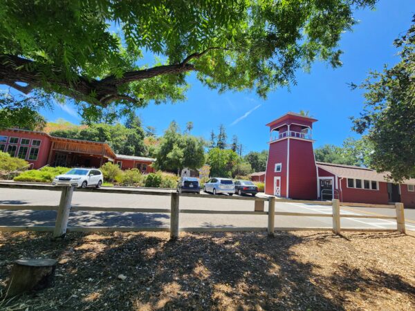
Then I reached picturesque McClellan Ranch.
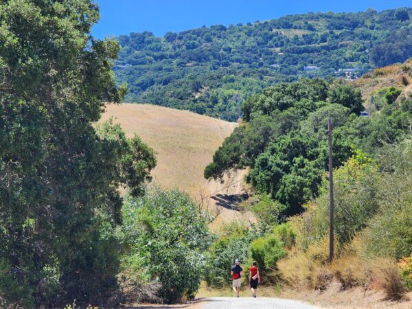
If you fork to the left toward McClellan Road, the Stevens Creek trail continues on an ascending path next to the golf course.
This whole portion of the trail does not connect to Stevens Creek Reservoir. The trail ends at Linda Vista Park.
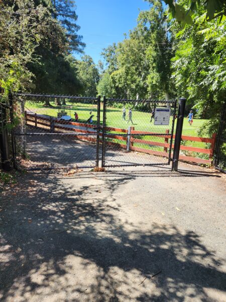
Golf course on my right and residential housing on my left.
I could not find a way to the reservoir from Linda Vista, and I confirmed with a local guide at the Audubon Society, that, no, there is no connecting trail.
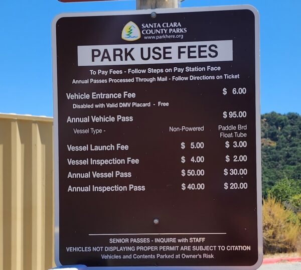
The reservoir can be reached by car or bike by taking McClellan Road to Stevens Canyon Road. Once you reach the reservoir there are a whole network of trails.
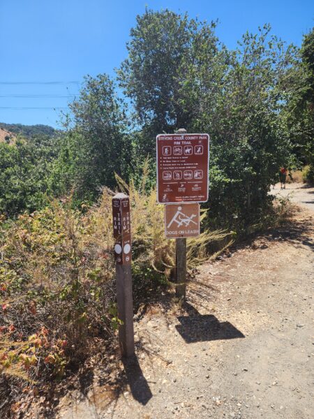
I took the rim trail and walked up a steep incline to the reservoir, but best to go to the reservoir parking lot. The signage isn’t very good on the rim trail and Google Maps is unreliable. Many dead ends and loops on this trail.
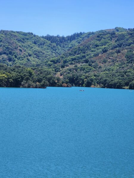
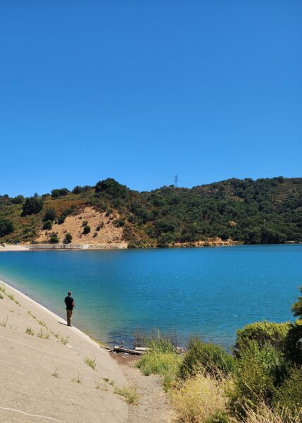
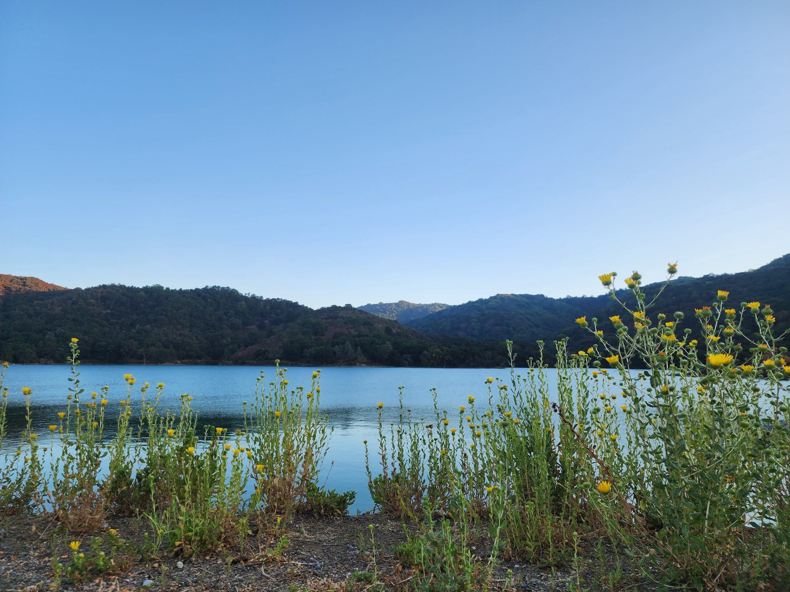
The reservoir is really quite beautiful. I will be headed back at some point to explore some of the open space preserves.
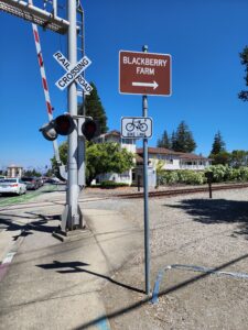
On my way back, I noticed a way of getting to Blackberry farm on a bike path following the railroad tracks.
Might be a better way to approach on bike!
Cheers!
Michala